


| NOAA Privacy Policy | NWS Disclaimer | ||
|
|
|
NOAA/NWS/NCEP/EMC provides real-time and retrospective mesoscale modeling support to the DOD Defense Threats Reduction Agency (DTRA) through collaboration with Titan/L3 Inc and Penn State University. NCEP/EMC Mesoscale Modeling Branch supports transport and dispersion assessments for DTRA by developing, testing and evaluating mesoscale modeling systems to drive the DTRA Hazards Assessments and Prediction Center (HPAC) SCIPUFF dispersion model. The following areas of development are explored:
McQueen, et al. 2007: Penn State University DTRA Weather Support Project Workshop McQueen, J.T., D. Jovic, H. Chuang, B. Zhou, J. Du, M. Tsidulko, Geoff DiMego, 2007: An Overview of the NOAA National Centers for Environmnental Prediction (NCEP) meteorological model products to support atmospheric transport and dispersion studies. 18th Conf. on Numerical Weather Prediction, 24-29 June, McQueen, J.T., D. Jovic, H. Chuang, B. Zhou, J. Du,
S.G. Gopalakrishnam, M. Tsidulko, Z. Janjic, Z. Toth and Geoff DiMego, 2007: An Overview of the McQueen, J. T., D. Jovic, B. Zhou, S. Gopalakrishnan, J. Du and G. DiMego, 2006: Use of NCEP meteorological model predictions for HPAC Applications, preprint, 10th Conference for Atmospherice Transport and Dispersion, George Mason University. |
|||||||||||||||||||||||||||||||||||||||||||||||
|
DIPOLE Pride 1996 Experiments: (Dusan Jovic) NCEP personnel modified the WRF-NMM (Non-hydrostatic Mesoscale Model) V2.2 preprocessing and nested grid software to run more than two nested grids. Therefore, NMM could be configured with high resolution needed to evaluate model performance for the DIPOLE-PRIDE 1996 over the Nevada Test Site. The WRF preprocessor was also modified to ingest the North American Regional Reanalysis (NARR) outputs to initialize and provide boundary conditions for the DIPOLE-PRIDE cases. WRF-NMM simulations are found here: http://www.emc.ncep.noaa.gov/mmb/aq/dipole/web/html/met.html Domain and Configuration : 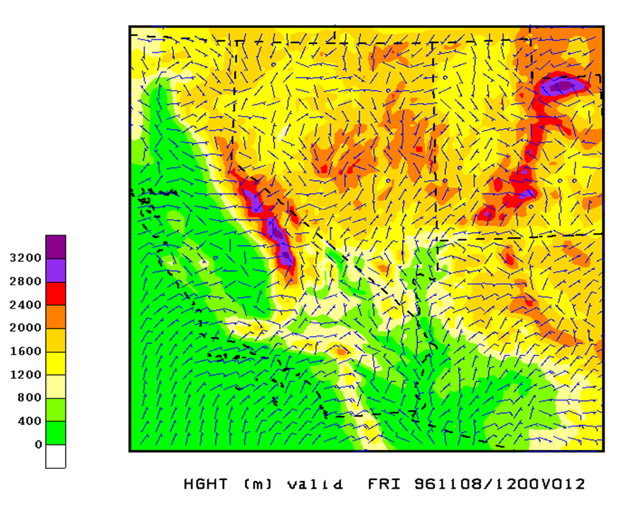
IHOP 2002 Experiments (Dusan Jovic, Marina Tsidulko and Zavisa Janjic) Three IHOP cases were run using the WRF-NMM V2.2 launcher. One North American 12 km grid was configured and 48 hour simulations were run using February 2008, the IHOP cases were rerun at 4 km horizontal resolution covering most of the Central High Resolution Window domain. Hanna, S.R., E. Hendrick, L. Santos, B. Reen, D. R. Stauffer, A. Deng, J. T. McQueen, M. Tsidulko, and I. Sykes, 2008: Comparison of observed, MM5 and WRF model-simulated, and HPAC/SCIPUFF-assumed boundary layer meteorological variables for three days during the IHOP field experiment. 1.2; 15th Joint Conference on the Applications of Air Pollution Meteorology with the A&WMA. New Orleans, LA, Jan. 20-25. Hanna, S., E. Hendrick, B. Reen, D.R.
Stauffer, J.T. McQueen, D. Jovic, High Resolution Ensemble Forecasting (HREF) system (Binbin Zhou and Jun Du) A high resolution ensemble forecast system (HREF) was
configured over the Verification of HREF and SREF predictions are available here: http://www.emc.ncep.noaa.gov/mmb/SREF-Docs/verif/html/t.html Final corrections were made to NCEP ensemble wind variance products used by HPAC/SCIPUFF to assess plume uncertainties. These outputs were made available to Titan and NCAR for inclusion on the MDS and use by HPAC. In June, these experimental outputs were added to the NCEP dedicated TLS communications line and are now available on the MDS. Four times per day predictions to 84 hours of several meteorological uncertainty fields including wind variance and covariance are plotted here:http://www.emc.ncep.noaa.gov/mmb/SREF_avia/TEST/web/html/variance.html |
|||||||||||||||||||||||||||||||||||||||||||||||
Boundary Layer Verification (Marina Tsidulko) The NCEP Forecast Verification System (FVS) was extended to evaluate PBL heights from predictions from the WRF-NMM Mellor-Yamada-Janjic (MYJ) TKE parameterization. Additional algorithms relying on critical http://www.emc.ncep.noaa.gov/mmb/aq/fvs/web-test1/html/pbl.html |
|||||||||||||||||||||||||||||||||||||||||||||||
Additional NCEP Products (Hui-ya Chuang, Binbin Zhou, Dusan Jovic) The following model outputs were added to the DTRA Meteorological Data Server for use by HPAC:
|
|||||||||||||||||||||||||||||||||||||||||||||||
NCEP | National Weather Service | NOAA | Department of Commerce |