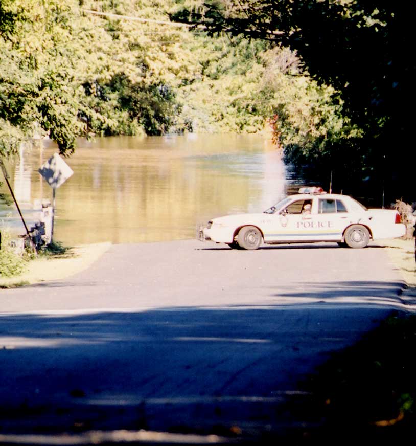
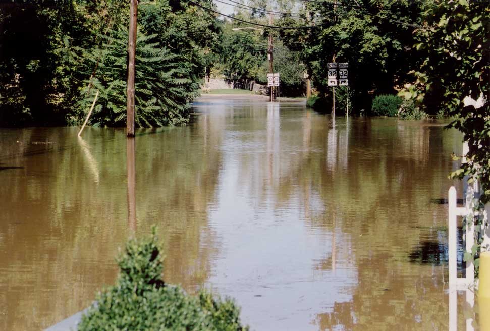
Shown in the photo below is the end of our street, Ferry Road, at about 3:00 pm, a few hours before the water crested, at the spot where East Ferry Road meets River Road.
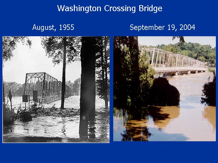
The photo below on the left was taken during the 1955 flood, which crested in Trenton at a level about 5 feet higher than this flood. I took the photo on the right at 1:30 pm, about 3 hours before the river crested, at which time the river was very close to its cresting height (according to folks at the Mt. Holly NWS office).
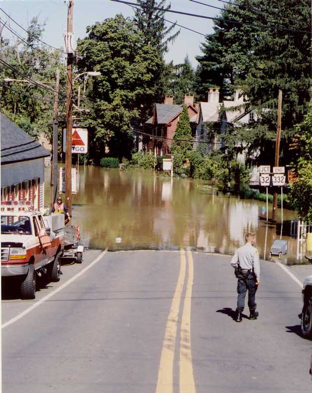
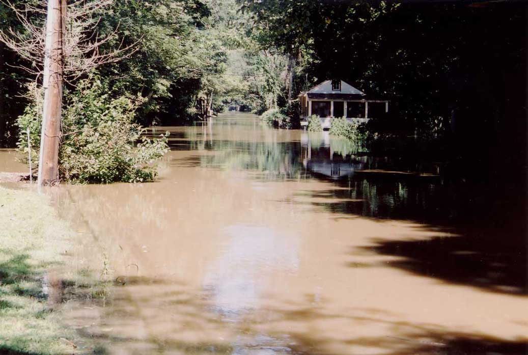
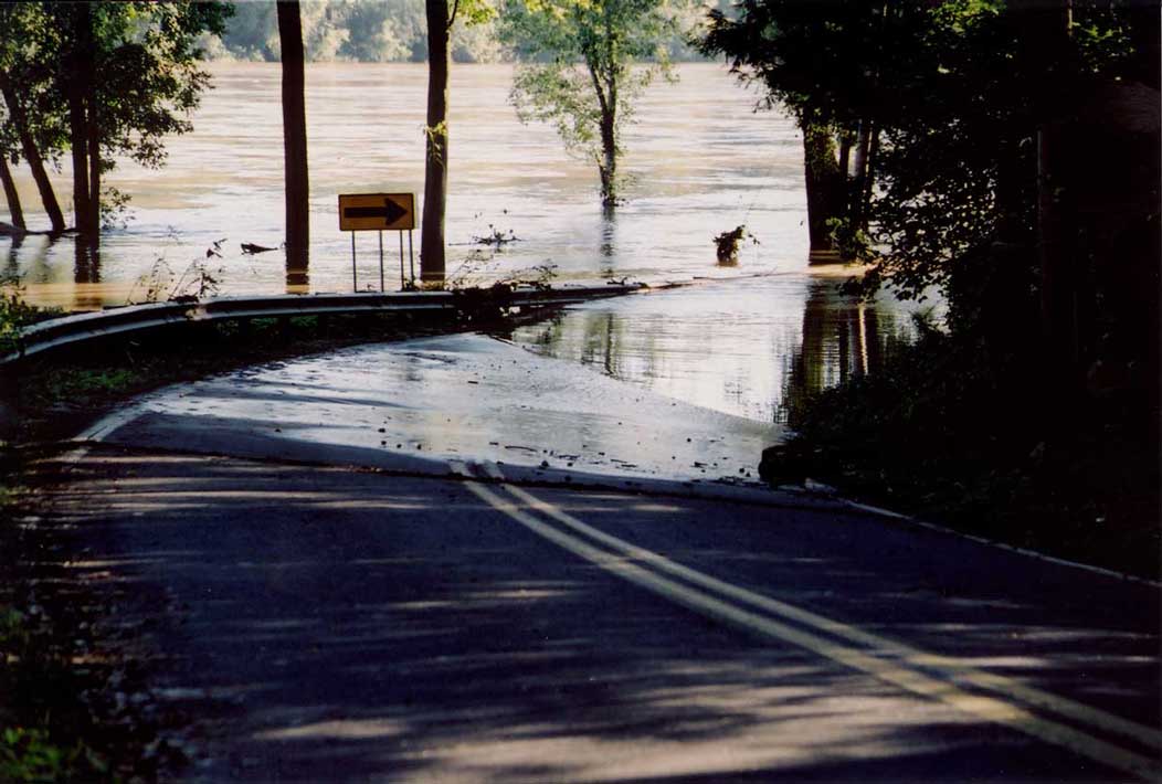
I took the photo below on Monday, the morning after the flood had crested. This photo was taken on River Road in Washington Crossing, about 2/10 of a mile south of the Taylorsville Road intersection, looking downhill. At this time, the water had already dropped 4 to 5 feet from its crest height (you can see the thin line of debris marking the crest height on the road).
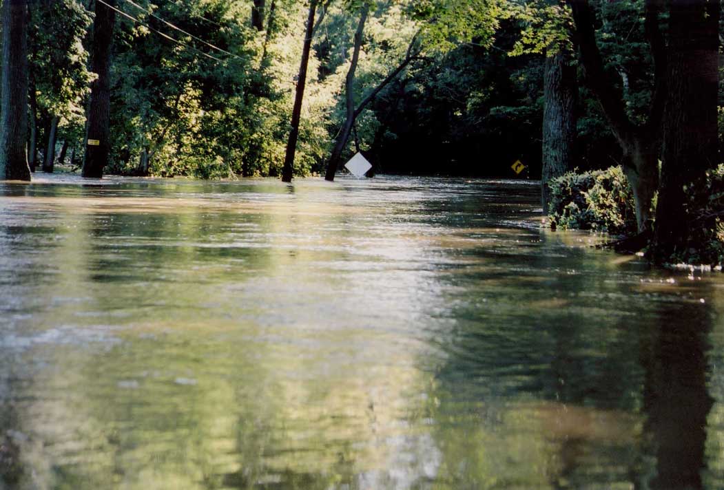
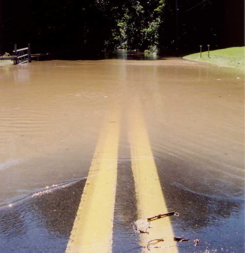
The photo below was taken from the same bend in the road as the above
photo. It was taken from the spot on the road directly in front of
the yellow arrow road sign in the photo above, looking south, in the
direction that the arrow is pointing. There are 2 diamond-shaped road
caution signs in the photo below that delineate the left and right sides
of River Road. Keep in mind that at this point, the river had already
fallen 4 to 5 feet from its Washington Crossing crest height.